Cwm in 3D
3D maps of NLS maps
5/23/20251 min read
One of my favorite websites is the National Library of Scotland's map image website.
I won't go into detail but I have spent hours exploring maps from 1888 and earlier to present day OS and Lidar maps.
They have a side to side function that allows you to compare their maps with each other. I usually have the 1888 -1915 Six Inch OS map on the left of my screen and a modern day Google Satellite Hybrid map on the right.
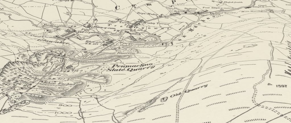
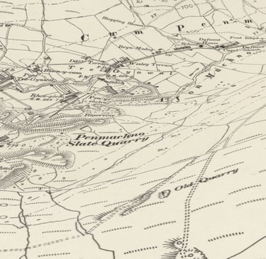
Hours of fun and discovery, but my favorite is the 3D GeoReferenced map. Not only can you fly over the map and see the contours of the valleys and mountains but you can do it with any map.
This what Cwm Penmachno would look like from a birds eye view in 1888.
Cwm Penmachno 3D map birds eye view 1888
Happy Flying